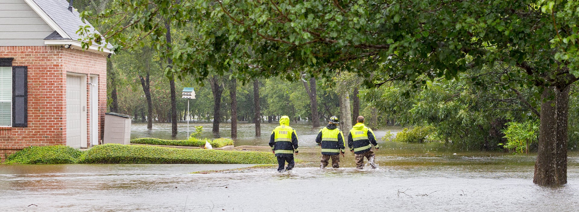
We’re seeing a troubling pattern: intense storms that dump inches of rain in minutes, and floods that hit neighborhoods far outside of the Federal Emergency Management Agency (FEMA) mapped hazard zones. In the span of just a few weeks, flash floods have swept across Texas, New Mexico, New Jersey and New York — turning streets into rivers, disrupting transit and overwhelming emergency systems.
These recent events are the latest reminders that our understanding of flood risk needs to catch up with reality. Too often, communities are left responding after the fact, without the tools they need to anticipate what’s coming.
We’re working with cities and regions across the U.S. to change that. From real-time flood warning systems to cutting-edge 2D modeling, we’re helping communities move from reactive to resilient.
Turning Forecasts into Action: Chattanooga’s Flood Viewer
Chattanooga, Tennessee, has long grappled with flooding challenges. In recent years, city leaders have taken steps to improve preparedness, including developing a web-based flood map and a local flood stage calculator. But with more frequent and intense rainfall events, the city needed a deeper level of insight — something dynamic, local and fast.
In 2025, we partnered with Chattanooga to design and build a next-generation Flood Viewer, a web-based decision support tool that puts forecast data into context and into the hands of the people who need it most.
Highlights of the system include:
- Interactive forecast maps based on real-time streamflow data and National Oceanic and Atmospheric Administration (NOAA) forecasts
- Incremental inundation modeling using the RAS to Flood Inundation Mapping (RAS2FIM) tool to show how floodwaters rise over time
- Custom alerts and dashboards tailored to local infrastructure and critical assets
- Damage estimates and impact visualization to aid planning and emergency response
The platform doesn’t just show where water might go; it tells when it will happen and what will be impacted, helping the city make fast, informed decisions in the face of uncertainty.
Seeing the Unseen: Modeling Risk Outside FEMA Zones
For decades, FEMA’s Special Flood Hazard Areas (SFHA) have guided building codes, insurance requirements and funding. But as many communities have learned the hard way, FEMA maps aren’t flood predictions — they’re regulatory tools, often based on historical data that doesn’t reflect today’s rainfall patterns or development pressures.
That’s why we are using two-dimensional (2D) modeling to reveal a fuller picture. These models simulate how water actually behaves — how it spreads across a neighborhood, bypasses storm drains or pools in unexpected low points.
In Missouri, we supported a city facing repeat floods in areas that didn’t appear on FEMA maps. Using 2D modeling, we helped city officials understand the true extent of their vulnerability, identify root causes and prioritize infrastructure upgrades. What had been an anecdotal concern became a documented case for investment.
Reframing Resilience
These projects — one focused on real-time awareness, the other on long-range planning — point to a shared insight: flood risk is no longer static, and so the tools we use must evolve.
Communities need decision frameworks that are adaptive, intuitive and rooted in the lived experiences of residents. They need systems that recognize not just where water is expected to go, but also who and what is at risk.