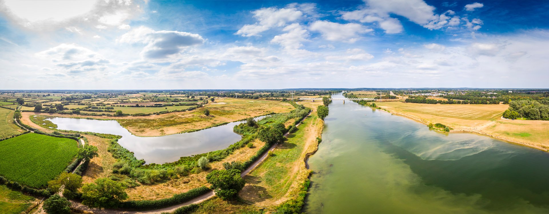
The Netherlands is increasingly facing extreme weather conditions, including prolonged drought, heat waves and heavy rainfall. In river areas, this leads to unpredictable fluctuations between extremely high and low water levels. Without human careful intervention, risks can become unmanageable.
Low water levels hamper shipping and have a negative impact on the economy. Drying floodplains threaten biodiversity and crop pollination, with consequences for the national food supply. In addition, dykes that remain dry for long periods lose their strength.
Paradoxically, the solution is both simple and complex: integrated river management (IRM). With this approach, drainage/flood regulation, navigation, freshwater supply, biodiversity support and economic development are all taken into consideration. The national authorities, together with provincial/municipal governments, water utilities and civil society organizations in the Meuse/Rhine region, are now developing a joint policy framework.
According to integrated design leader Jette Eshuis, this mainly involves making smart, sustainable choices. “By approaching the river system as a whole, we can coordinate measures and avoid unnecessary intervention. Sometimes that means not reinforcing dykes because space is being created elsewhere. Sometimes it means designing dykes so they can easily be modified or relocated later on.”
Envisioning change
WSP has been involved in IRM since 2019. We helped shape the planning process, put together the "Beeld op de Rivieren" (River Perspectives) study and selected pilot projects along various branches of the Rhine. From 2022 to 2024, we collaborated on the "Ontwerp Programma Integraal Riviermanagement" (Integrated River Management Design Program) report.
"As an IRM team member, I was responsible for gathering input from dozens of stakeholders, which was compiled into an environmental impact assessment plan (Plan-MER)," notes Eshuis. "In it, we outlined the current situation, identified bottlenecks and put forward three potential solutions. In working sessions, we explained how these alternatives came about and how they could be compared so officials could make informed choices."
With so many parties involved, getting everyone on the same page was challenging, Eshuis admits. “Building a bridge over a river contributes to spatial development but the pillars can restrict shipping. Raising dykes is beneficial for water safety but can affect views of the river and the surrounding landscape.”
Thinking outside the box
With so many interests at stake, thinking outside the box is a necessity, not a luxury. Eshuis offers this assessment:
"Ultimately, you arrive at a combination of solutions that is feasible and affordable and offers a good balance between costs and benefits. But to ensure that decision-makers know exactly what they will get for their money, you have to be willing to innovate. In such an integrated project, funding from different sources flows together into one large stream. The impact of each source is not always clear. So trust and courage are necessary."
Shifting dyke boundaries for the future
Two important issues have emerged from the IRM Program, says Eshuis. "One is the approach to managing riverbed depth and sediment in order to tackle low water levels. In addition, storage capacity measures are being developed to enable safe drainage during high water tables. It has become clear that in order to facilitate all five river functions—drainage/flood regulation, navigation, freshwater supply, biodiversity support and economic development—the space required is greater than the space currently available outside the dykes. In other words, we need to look at areas inside the dykes for a solution, e.g. relocating dykes to create more space for the river."
WSP is now investigating how much space will be needed inside the dykes, explains Eshuis. "Not only in 2100, but also in 2200. To that end, we're using river engineering models, historical data, preconditions for a robust ecological system, and an assessment framework. We're also working closely with a team of river engineers, morphologists, ecologists, and landscape designers in a broad consortium. In late 2025, we delivered our river spatial analysis to the Dutch Ministry of Infrastructure and Water Management, with recommendations to prohibit capital-intensive activities in certain areas in the future, so they can be used in the short term (2050) and long term (2100) for safe water discharge. Ministry decisions on the required regulatory and planning protections are expected in 2026.
“Designing dykes and floodplain widening projects that use low-emission solutions such as soil-based materials rather than steel or concrete structures is forward-thinking," concludes Eshuis. “By taking future developments into account now, we are not only saving costs and materials, but also building robust and resilient river areas for the coming generations.”