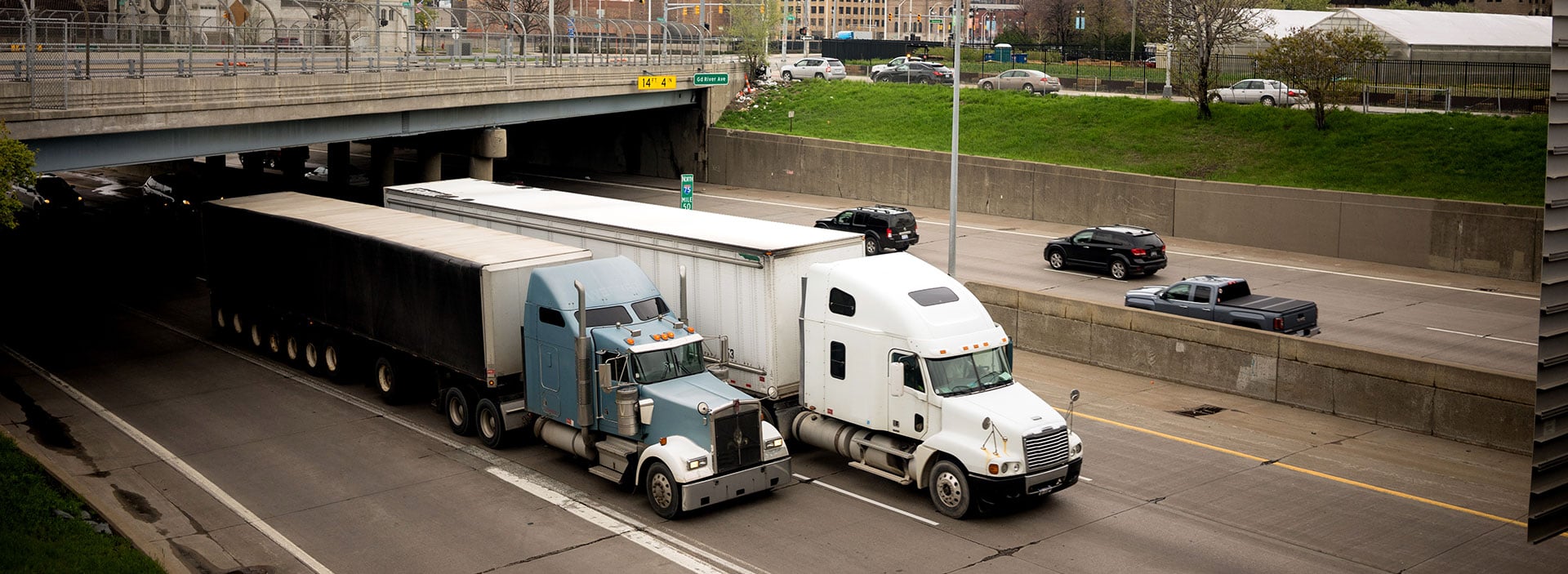
The City of Detroit needed data to respond to community concerns that truck traffic from large businesses was traveling through adjacent neighborhoods, raising issues related to noise, air quality and pedestrian safety.
These concerns were especially pressing in areas already burdened by environmental and economic challenges.
To address this, we used DeepView Freight tools to combine high-resolution locational data from Geotab ITS and Replica to develop an interactive dashboard that visualized the primary routes used to access specific freight-generating businesses in the region. The dashboard enabled planners to pinpoint high-traffic corridors and assess their proximity to sensitive land uses such as schools, parks, and residential zones.
With this insight, the city was able to revise truck routes and restrictions, minimizing negative impacts on surrounding communities, improving safety and promoting environmental improvements. The data-driven approach also fostered transparency and trust by giving residents a clear view of how freight movement was being managed in their neighborhoods.





.jpg)
