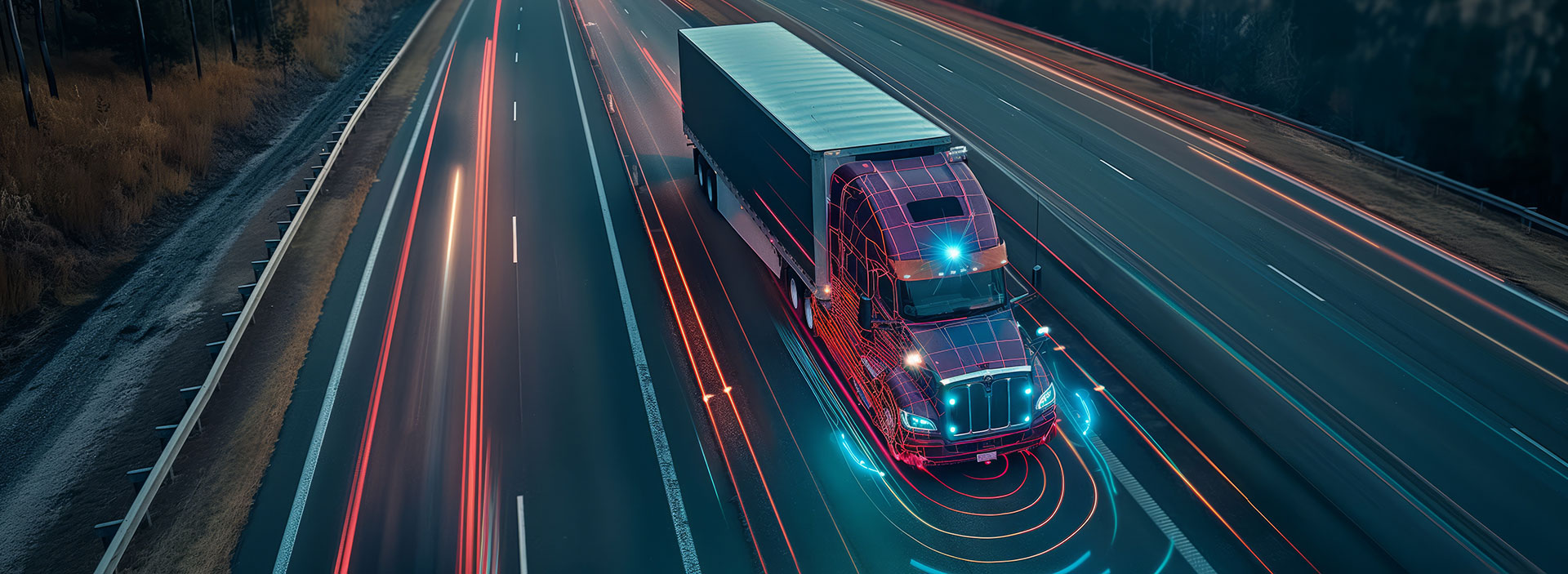
Convert truck GPS and locational data into insights and recommendations you can count on.

DeepView Freight consists of powerful integrated tools for processing and interpreting truck locational data. This platform allows WSP to quickly and accurately answer questions related to how trucks are traveling on highways and through neighborhoods, allowing planning and transportation agencies to make better informed decisions and investments.
The result: more efficient freight movements, safer roadways and healthier communities.
A 10-year history of pioneering the analysis of location data, including dozens of projects for state Departments of Transportation, cities, counties and federal agencies.
Reliable, practical intel
Truck congestion analysis and bottleneck identification
Truck parking studies
Truck route planning
Truck toll market analysis
Truck electrification planning
Powerful, integrated tools
API access to all major sources of GPS and telematics data, adaptable to client resources
Efficient scripts and libraries for processing and extracting insights
High performance cloud computing
Conflation with other geospatial data, including commodity flow
Latest machine learning and AI techniques
Dashboarding and visualization expertise across all platforms
National Experience
State departments of transportation and cities across the country have found game-changing insight in DeepView Freight’s analysis of truck GPS and related data. Learn more about how we've helped our clients.