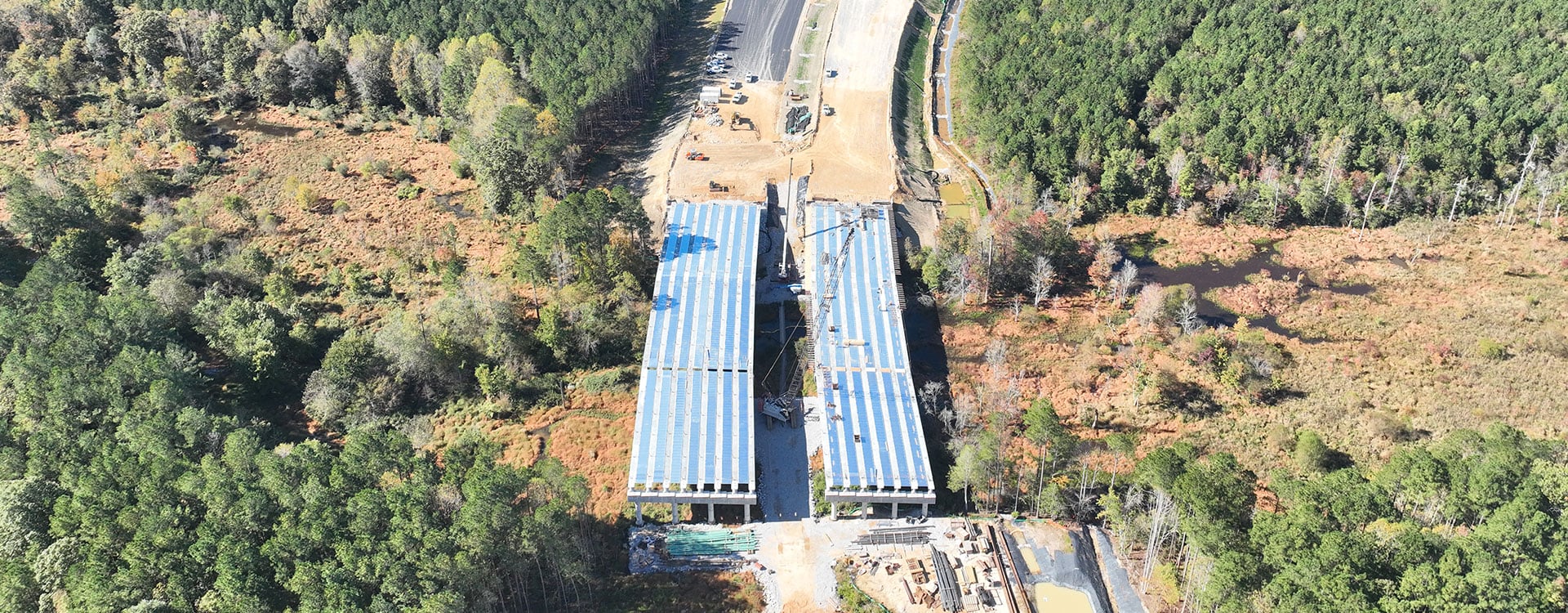
Complete 540 is a transformative North Carolina transportation initiative aimed at extending the Triangle Expressway along Interstate 540 and creating a full loop around the greater Raleigh area.
In support of this initiative, the North Carolina Turnpike Authority (NCTA) is working with WSP on a pilot project to integrate drone based light detection and ranging (LiDAR) with cost loaded critical path method (CPM) scheduling on Phase 2 of Complete 540.
This work builds on our experience in applying unmanned aircraft systems (UAS), or drones, with LiDAR technology on complex corridors, including Interstate 440 (I-440) in Raleigh on behalf of the North Carolina Department of Transportation (NCDOT). Complete 540 combines these capabilities with CPM scheduling to provide a clearer understanding of construction status than traditional approaches alone.
The combination empowers NCTA with a highly accurate, data driven view of construction progress, safety and efficiency on large scale transportation infrastructure.
Smarter oversight
Traditional surveying and progress tracking methods are often time intensive and difficult to scale on large transportation projects, and field crews may spend extended periods in active construction zones to collect data that takes weeks to process.
On projects like Complete 540, these limitations negatively impact costs, scheduling and safety.
To overcome them, WSP deploys monthly UAS platforms equipped with LiDAR sensors to collect high resolution data throughout the project corridor. Compared to traditional surveying, this approach significantly reduces field time, while also capturing detailed topographic and surface information over large areas.