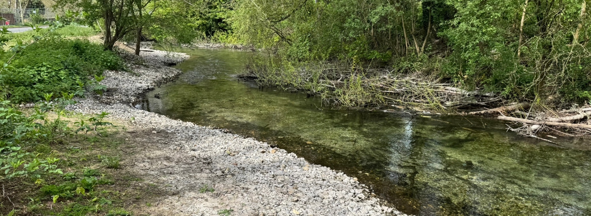
Design development was informed by extensive surveys, including ecology, arboriculture, topography, archaeology, water framework assessment and construction design management. We shared initial habitat enhancement plans widely to support stakeholder engagement and refine the proposals.
Flood risk modelling was a critical part of the process. Historic floodplain modification in Andover means flood risk follows the river corridor through the town centre, and any river works must avoid increasing that risk. Our modelling demonstrated that removing constraints created by the weir, accumulated silt and channel infill would reduce flood risk by keeping flows within the riparian corridor and limiting routing through urban areas.
The final design focuses on restoring natural processes. Alongside removing the weir’s impounding effect, we introduced selective tree management to daylight the channel and support aquatic plant growth. Gravel and woody berms narrow the river to more natural proportions, diversify flow patterns and create a range of habitats within a previously over wide, modified channel.