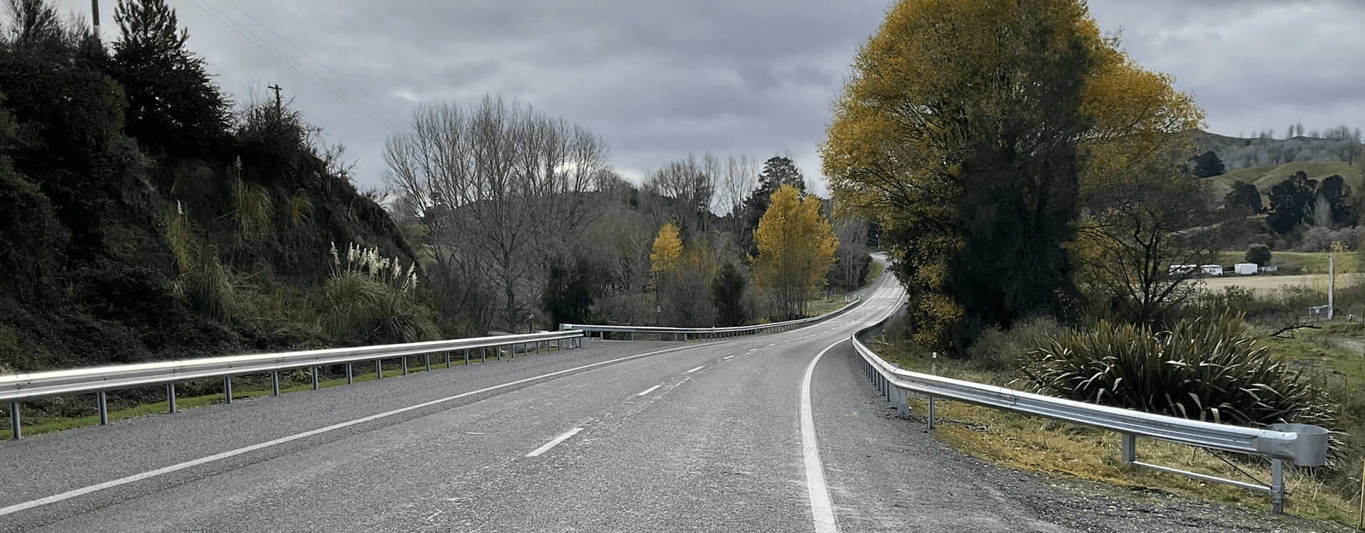
While a large Programme Business Case for safety improvements on SH5 is yet to be funded, this important project came about after an initial $13 million was approved by NZ Transport Agency Waka Kotahi (NZTA) for value for money safety improvements to be delivered at pace on the SH5 corridor. And that’s where WSP stepped in.
Led by WSP Napier-based technical principal for transport engineering Glen Randall, road safety experts from WSP set to work analysing crash data and identifying a long-list of over 40 potential sites along the route earmarked for safety improvements. From there, WSP developed a tool that ranked the long-listed options.
“The tool used what’s known as a multi-criteria analysis to easily rate these. Its secret sauce was the incorporation of accurate death and serious injury reduction values,” says Glen.
“As part of the work, NZTA gave us access to their death and serious injury calculator, and crash analysis system. We built these into the tool, which identified that a combination of low-cost safety improvements such as rumble strips and side barrier at high-risk sites could achieve a sizable collective safety benefit, but for a far lower investment cost.
“The value of the tool we’ve developed is how it gives insight into which project might perform better than another in reducing crash death and serious injury. Also, evaluating a long list of projects and whittling this down based on a budget ceiling.”
All up, eight project sites on SH5 were selected, including two in areas damaged by Cyclone Gabrielle. All sites were deemed high-risk areas or identified as needing specific treatment to address a known safety issue. Safety improvements at the project sites will be finished by the end of September.
The tool needed to be biased to projects that could be delivered without major complications such as having to acquire land or involve major structures requiring geotechnical input.
Glen says while SH5 isn’t an especially unique stretch of road by New Zealand standards, it traverses mountainous terrain on the Napier to Taupō stretch. There are limited opportunities to widen the road without significant cost.
“Data shows that 70 percent of crashes on SH5 are due to losing control on a curve. This is usually because people are travelling too fast or misread the road.
“Nearly 30 percent of the route has a shoulder of less than 0.5m, which means when people move outside their lane, they have very little ‘forgiveness’ before finding themselves on the unsealed part of the highway. That’s when they’ll lose control of their vehicle.”
Glen says travellers on the road will notice audible tactile paving (ATP) (also known as rumble strips) at the project sites. These alert drivers when they’re about to leave their lane. Wider shoulders, which give drivers an opportunity to correct their vehicle also feature, while new guardrails form a third layer of defence to reduce the chances of leaving the road and hitting a hazard – such as a tree or ditch.