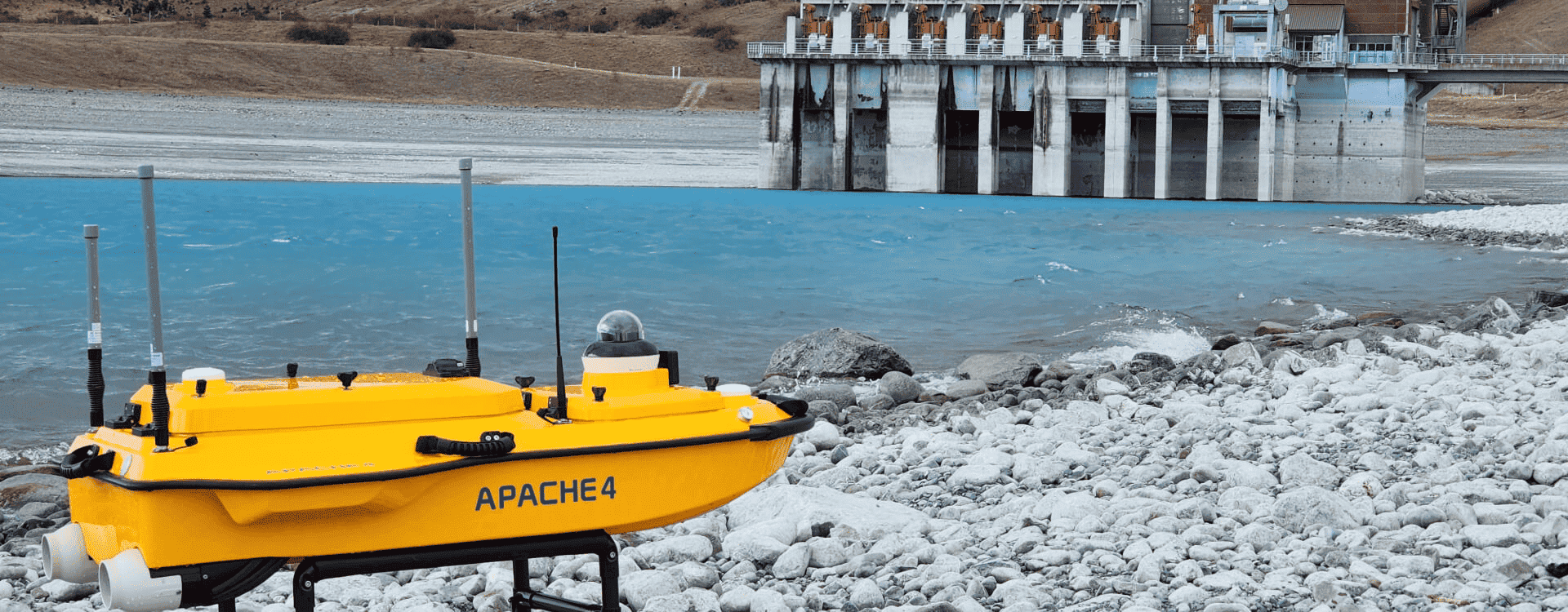
New Plymouth-based team leader for surveying Peter Troon says the one-metre-long vessel is packed with advanced technology, including a multibeam echosounder that that sends out sound waves in a fan shape to map underwater terrain.
“When it comes to underwater mapping, it doesn’t get much better than this,” he says.
Purchased from Chinese firm CHC Navigation, the Apache 4 is a significant new addition to WSP’s hydrographic surveying capabilities.
Maritime NZ-approved, it’s been trialed on survey projects, including checking bottom contours around piles and pillars on Whanganui’s Dublin Street bridge.
Peter says the acquisition of the vessel was spurred by survey work for a client who maintains riverbed pipelines and commissions surveys to check these aren’t becoming exposed after heavy rain and erosion events.
But the vessel opens a world of possibilities beyond that, such as surveying bridge abutments after floods, looking at critical infrastructure in hydroelectric dams and lakes, and checking on the condition of small ports and jetties.
The benefits come down to improved health and safety and obtaining richer data.
“Even putting a staffed hydrographic boat in locations can be risky. The new vessel does away with that. Think of it like a water drone - it just needs a land-based operator.”
Peter says the vessel is a fast, efficient way of getting critical information for clients. It produces a below-the-surface 3D point cloud of bottom topography and can be equipped with extra sensors for other underwater surveying tasks.
“The complexity of the data outputs is one hundred times more than what we’ve had in the past. We’re working with CHC Navigation to get our survey team staff trained up.”
There are plans to expand its use, including for a client that needs the underwater parts of ten bridges inspected.
As demand grows for precise underwater data to support infrastructure resilience and environmental stewardship, the nimble yellow vessel is set to become a familiar sight on the country’s waterways.