The wind is up today. Silty little dust devils whir across the valley, past houses washed off their foundations. Faded signs from Urban Search and Rescue are still visible on the walls of some – painting a grim reminder that lives were lost last February.
Harry recalls WSP’s survey of the cyclone’s aftermath. He and colleagues made it only a few kilometres up Esk Valley before striking a washout that prevented further access.
“We were driving on flooded roads, forced to weave around obstacles. There was mud and debris everywhere. In some places, silt and water on the road was half-a-metre-deep.
“Roads were blocked. We had closed the Napier Expressway due to the amount of water. We couldn’t get past the Esk turn off to access State Highways 2 or 5. To the South, State Highway 51 was closed. We couldn’t pass Awatoto. Several local roads and bridges had gone. Napier was completely isolated. It was like a war zone,” he says.
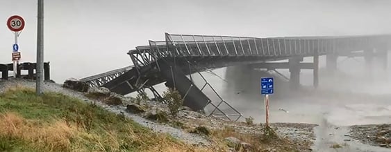
The force of the water stripped fill away from many bridge approaches, scouring out around the abutments. Some bridges were cleaved in two and submerged by the furious waters.
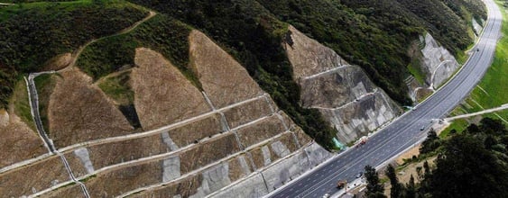
Harry takes us on State Highway 2, Napier - Wairoa Road. A big project is underway at Devil’s Elbow, where traffic is down to a single lane. The tight hairpin bend was almost completely washed away. An immense WSP-designed retaining wall is being built - soon expected to be ready.
On the way back to Napier we pass roadside sensors and rain gauges. Installed by WSP, they’re part of proactive work to monitor slope movement. With climate change resulting in more frequent and intense downpours, this kind of kit is becoming increasingly necessary in much of the country.
Harry points out a culvert that stood up well to the cyclone’s hammering. It had been damaged and repaired years earlier, after Cyclone Bola in 1988. Bola was intense too, says Harry - although its rainfall was spread out over three days, not the few catastrophic hours it took Cyclone Gabrielle to dump its moisture.