WSP has been helping NZ Transport Agency Waka Kotahi (NZTA) monitor, measure, and mitigate rockfall at Nevis Bluff since 2000. Routine works include scaling to remove loose rock, and slope stabilisation with steel rock anchors, mesh, or removal through blasting.
A network of remote sensors is currently installed on the Bluff. The sensors send movement data every five minutes, which can be viewed through the digital twin, or on a mobile phone. Mobile phone alerts are triggered if movement exceeds a certain threshold.
Reece says this kind of proactive remote monitoring lets geotechnical engineers see what's going on with cliff movement in real time. It adds to manual measurements, visual observations by helicopter, and drone surveys.
“The digital twin captures all the current and historic information we have about Nevis Bluff. It makes it more efficient to manage and assess risk to help keep road users safe.”
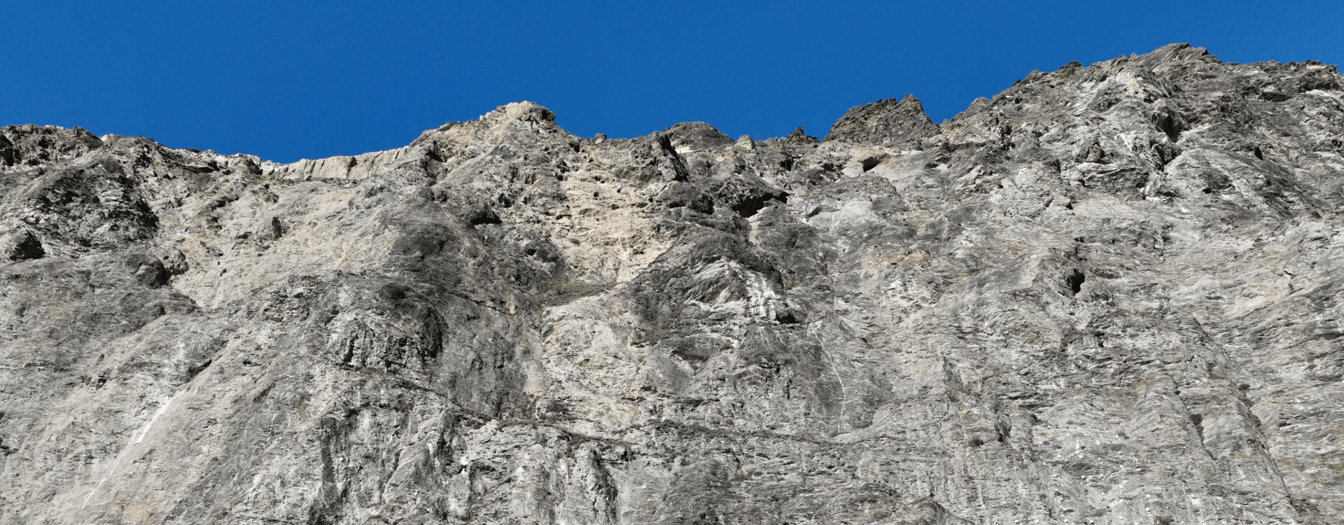
Nevis Bluff stands sentinel on SH6 Kawarau Gorge. Sited in steep, spectacular country, the type and orientation of its rock make it susceptible to rockfall, requiring ongoing management.
Though difficult for drivers to observe from the road, the Bluff is large and complex. Its history of instability is well documented. Rockfall has been an issue since the road was first opened in 1867. In recent memory, significant falls occurred in June 1975 and September 2000.
Using the Papers Past archive, Reece and colleagues discovered rich veins of Nevis Bluff rockfall history – dating back to the gold mining era of the 1800s. Fed into the digital twin, the data has been useful in understanding return periods of larger rockfalls.
Senior Network Manager for NZTA in Central Otago Matthew Jones says the fact there hasn't been a significant rockfall at Nevis Bluff in years is the result of decades of proactive, hands-on management.
“The digital twin will make this process so much more efficient. Having this huge bank of historic information in one place also goes a long way to addressing the issue of succession, when others come to lead in this space.”
The digital twin is also set to benefit workers on the cliff face.
Several anchor installations are used by abseilers during inspections and scaling works. The anchors are tested every twelve months to make sure they’re safe. A record of their condition at each inspection is maintained in the digital twin.
“With one hundred and forty-four large geological features on the rockface, the digital twin tells abseilers which features they can access from which anchor point, what length ropes they'll need, and the anchors’ testing information,” says Reece.
Inspection findings for each feature are recorded in the digital twin, along with images associated with the feature, colour-coded risk assessments, and recommendations, actions and programmes coming out of the inspections.
The digital twin went live at the end of July 2025. While still a proof-of-concept, additional smart features are planned to be included in coming months – such as automatic calculation of risk based on inspection findings and risk assessments.
WSP principal geohazards specialist and digital lead John Kreft says the digital twin can be replicated for other high-risk rockfall sites across the country – provided there’s enough data.
“It was tricky to get the digital twin for Nevis Bluff right in terms of all the processing that had to be done, but we’re very happy with the result. There’s no other site in New Zealand that’s as well documented with its geological structure and historic rockfall activity.”
Thanks to the digital twin, management of the Bluff has been brought into the 21st century – a prime example of modern geohazard management that blends real-time data, decades of history, and smart technology to keep road users and workers safe, making management more efficient and maintenance teams more effective.