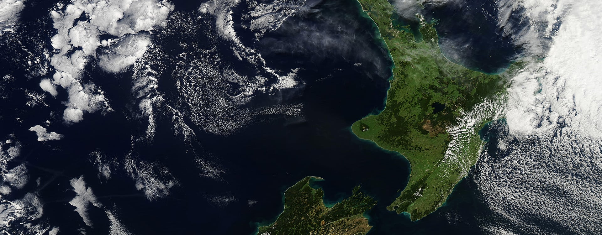
Each week, orbiting satellites collect data from every point on Earth’s surface - letting engineers understand precisely what’s changed on the ground. Interferometric Synthetic-Aperture Radar, InSAR for short, has been around for decades, but hasn’t been widely used at WSP in New Zealand. Until now.
Thanks to a recent partnership with UK firm SatSense, the latest InSAR data is now flowing into WSP’s hands – meaning geotechnical and surveying specialists can rewind Earth’s surface to spot the earliest signs of ground movement.
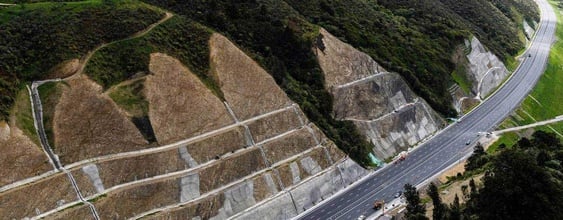
Technical director for engineering geology Tim McMorran says this remote sensing technology is set to speed up WSP’s geotechnical sleuthing, including helping roading authorities better understand slope and road movement on the transport network.
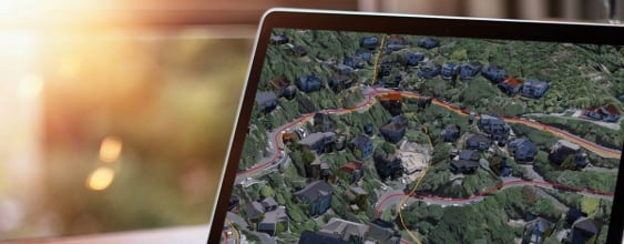
Paired with ten years' worth of historic New Zealand InSAR data, millimetre level changes in terrain can now be measured for clients.
Tim describes InSAR as a powerful screening tool for better understanding landslide movement, the deformation of structures, buildings, and more. Greater use of InSAR is set to become standard practice in the industry, he says.
“As well as monitoring landslides and structures, InSAR can help monitor riverbed erosion, coastal changes, and soil subsidence due to removal of groundwater.”
As a lens into ground movement that’s invisible to the naked eye, InSAR is also a possible game changer for asset management, adds technical director for asset management Elke Beca.
“InSAR can be used before we even start designing or renewing infrastructure. It helps us spot ground movement that isn’t visible - like a slow landslide under a road. That means we can tweak the design early, add things like drainage or slope support, and avoid costly repairs later. Same with old water pipes. InSAR can show which streets shift seasonally, so we replace pipes in those areas first and hold off where the ground is stable.”
While InSAR is a powerful engineering tool, it’s not a silver bullet, says WSP commercial manager for surveying Sam Moroney.
Working best on rocky hill slopes and in urban areas where there are plenty of reflecting surfaces for radar signals, it adds to WSP’s world-class terrain monitoring toolkit of instrumentation, ground-penetrating radar, lab testing, and laser scanning.
“InSAR will help greatly with ground movement investigations,” says Sam. “We can keep monitoring problem sites with InSAR, install electronic instrumentation, or use a combination of techniques.”
Many of WSP’s geotechnical investigations span large geographic areas, which senior engineering geologist Richard Punt describes as a time-consuming task, often in remote locations.
“InSAR can identify areas of interest, allowing targeted ground investigations. For clients, this means faster insights, reduced fieldwork costs, and earlier warnings - all without stepping foot on unsafe terrain.”
Tim says it made economic sense for WSP to go all-in on InSAR.
“Most of our clients’ geotechnical challenges, such as the slow, gradual movement of soil and rock, are focused on quite small areas. It can be expensive to get InSAR data for just one site, but data for hundreds or thousands of square kilometres is available for not much more – opening a world of possibilities.”
Richard has used InSAR in previous mining roles in Australia. He says it’s useful when looking for “precursory indicators of ground failure,” and lets engineers proactively mitigate potential problems for clients ahead of time.
Some clients are also interested in knowing when ground movement started happening. This is where InSAR really comes into its own, he says.
“Land movement is often associated with rainfall. Because we have data coming in every seven days, we may be able to associate a triggering event, such as rainfall or earthquakes.”
For now, Tim says WSP is focused on getting acquainted with the streams of InSAR data now coming its way, and up-skilling staff in how to use the technology.
“We're just getting started with these vast datasets - seeing what they look like, and how we can use them.”
As WSP’s InSAR expertise deepens, the hope is that it will become a business-as-usual part of site investigations - reflecting a rock steady commitment to smarter, data-driven engineering.