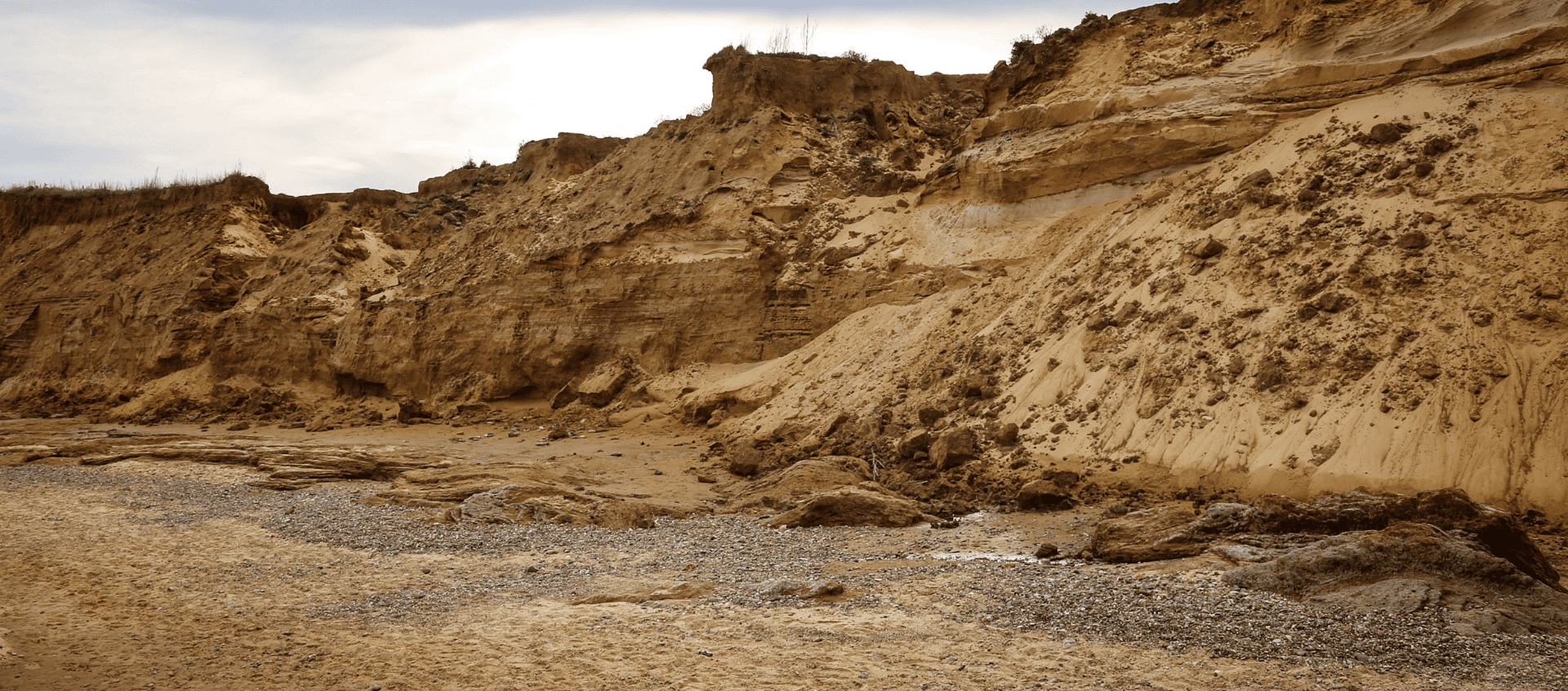
Recent research from the University of Auckland reveals a mixed picture for Aotearoa New Zealand’s coastlines. It shows areas where the shore is expanding and others where erosion is problematic. However, predicting the exact nature of future erosion remains uncertain.
Historical data is crucial for understanding coastal erosion, but data is often sporadic and only captures broad trends. This can be an issue when used in predictive models because they may not fully account for the evolving and smaller scale dynamics of coastal systems over recent decades.
For instance, we know that weather patterns such as El Niño and La Niña influence wave climates and periods of beach erosion or accretion at different beaches. New studies indicate that we can expect future changes in wave climates associated with climate change, but we are still unsure how aspects such as shifts in wave direction might impact wider sediment transport mechanisms, potentially creating new or compounding existing erosion issues.
The uncertainty is further complicated by the limitations of shoreline projection methods, which often rely on historical imagery and often do not consider the full range of dynamic processes at a site. For example, estimating shoreline positions based on aerial images may miss important factors like the presence and condition of seawalls or obscured by vegetation, leading to potential inconsistencies.
Managing coastal erosion effectively requires proactive planning and monitoring. Although government guidelines suggest using environmental triggers to guide adaptation and retreat strategies, there’s a significant gap in implementing thorough monitoring systems. For example, at St Clair in Dunedin, which has faced coastal erosion issues for over a century, only recently have monitoring efforts been enhanced by local authorities.
The absence of robust historical data and effective monitoring can hamper decision-making. Recent high-profile issues in Port Waikato and Whitianga illustrate the need for better planning and earlier intervention to handle coastal risks more effectively. In these cases, better linkages of monitoring data to management regimes may have resulted in different outcomes.
Regional authorities and insurance companies face challenges due to the inherent uncertainty and variability of erosion projections. Risk assessments often rely on broad data sets that might not accurately reflect the conditions of specific properties. For instance, the presence and condition of protective structures like seawalls may not be well-documented, leading to possible misjudgments in risk evaluations.
Addressing these challenges will mean improved collaboration between insurance companies and local councils. Greater consistency in risk assessments and adaptation strategies is essential for fair outcomes. Improvement in the standardisation of how erosion risks are assessed and managed is required, with the aim of improving the application of adaptation measures and protection structures.
Tackling coastal erosion needs a multifaceted approach, including enhanced monitoring, better data use, and stronger collaboration among stakeholders. As climate change impacts become more pronounced, there's no doubt that developing robust, consistent, and fair strategies for managing risks and implementing adaptation measures will be increasingly important for all communities.